
Nature Analytics
Shaping nature insights – Empowering decisions
Actionable nature risk intelligence that helps engineers, planners, and land stewards make defensible investments, protect communities, and manage landscapes sustainably.
What we do
Leading-edge tools for nature-risk assessments
We help organisations understand, forecast and manage the natural hazards that put people, assets and critical infrastructure at risk.
By combining specialist expertise, reproducible methods and production-ready software, we deliver scalable nature risk analytics that fit directly into procurement, planning and asset-management workflows.
Our approach brings together probabilistic physics, AI-enabled data pipelines and practical engineering experience to support better-informed decisions to manage nature risks.
Core services
Operational nature risk intelligence, engineered for impact
Site specific probabilistic rockfall simulation
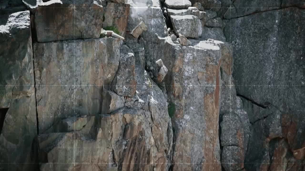
Our software Rockyfor3D produces high-resolution, physics-based 3D rockfall trajectory simulations to estimate runout, impact probability, kinetic energy and bounce height. Deliverables are tailored for design, permitting mitigation planning so teams can specify barriers, nets and other protective measures with confidence.
Regional hazard mapping at scale
Our automated, high-resolution regional analyses combine terrain, geology and vegetation data to produce reproducible landslide and rockfall hazard and risk maps suitable for planning, emergency preparedness and prioritised investment.
Large rock mass fall and rock avalanche runout analysis
We model complex rock mass failure and runout dynamics to support scenario planning, resilience studies and infrastructure protection strategies.
Spatial data & analytics integration
We customize data pipelines and GIS workflows, integrate third-party datasets and in-house models, producing standardised exports for a wide range of geographical information and asset-management systems.
Why Nature Analytics
Trusted science, production-ready delivery
Practical outcomes: We focus on nature risk related outputs that directly reduce uncertainty in design, accelerate procurement and optimise mitigation spending.
Collaborative by design: We work closely with engineers, authorities and owners to align our deliverables with decision points and institutional workflows.
Enterprise-ready: From cloud deployment to controlled binary builds, we deliver nature intelligence solutions that meet procurement, security and IP needs.
Scientific rigour: Our models and methods are reproducible, transparent and defensible for regulatory and procurement uses.
Who benefits
User stories
Geotechnical engineers
Dimension rockfall protection structures with return-period design energies.
Natural hazard specialists
Prepare hazard zones and risk maps from probabilistic trajectory analyses.
Infrastructure owners
Assess risk to roads, bridges, dams and power lines across complex terrain.
Forest and land managers
Evaluate protective forest effectiveness against rockfall.
Government & cantonal authorities
Assess regional and local rockfall risks for public safety.
Research institutions & universities
Study rockfall behaviour in complex terrain.
Rockyfor3D
Rockyfor3D, powered by Nature Analytics.
Rockyfor3D simulates individual rockfall trajectories, bounce heights and impact energies to produce probabilistic design parameters for any terrain or physical structure.
Engineers, consultants, asset owners, hazard specialists, land managers, authorities, and researchers use Rockyfor3D’s reproducible maps and data for design, planning and risk management.
Rockyfor3D (RF3D) licence pricing
RF3D - Standard licence
Full licence (1 year or 6 months); all options, a User Interface (GUI) and a Command-Line (CL) version
€1795/ year
per seat
Unlimited area covered by the input data
Thousands of trajectories simulated in seconds
For engineers, planners, consultants and researchers
RF3D - EDU licence
Educational licence for 1 year, only for university courses and student assignments
€500/ year
for 20 seats
1 year
Additional seats can be purchased for €25 / year
Strictly limited to academic, non-commercial use; subject to eligibility
Both the GUI and CL-version; max. area of the input data = 40 ha
RF3D - LDC licence
Full license (1 year or 6 months) with a reduced price for users in Least Developed Countries
€895/ year
per seat
All program options, both the GUI-version and the CL-version
Only for Least Developed Countries according to the UN definition
Availability subject to eligibility